Navigating three epic gateways through Swartberg Mountains
Western Cape - Karoo – South Africa
Three Major Historical Routes through the Swartberg Mountains you can drive today
Mention the Swartberg Mountains to any adventurous South African and their eyes light up. Their pulse rises. The next sentence inevitably includes the infamous gravel pass by the same name - Swartberg Pass. This historical pass offers the navigator (and passengers) spectacular scenery, exciting driving up and down steep gradients on some narrow sections with a series of hairpin bends. If that doesn’t get their blood pumping, you just need to mention the numerous steep drop-offs with hardly a barricade to prevent their plunge into the deep gorges.
Did you know there are essentially three gateways through the almost impenetrable bulk of the Swartberg Mountain (Black Mountain) range, a barrier between the Klein or Little Karoo and the Groot or Great Karoo? We had the opportunity to drive not one, not two but all three in 2021 during two separate road trips.
The three major routes through the Swartberg Mountains are Seweweekspoort, Swartberg Pass and Meiringspoort.
Meiringspoort
About the Swartberg Mountains
Geologically the Swartberg Mountains are similar to the Table Mountain group. Parts of the mountain have been declared a UNESCO site. The Swartberg Mountains are divided into two major sections separated by the Gamka River:
Small Swartberg
The Small or Klein Swartberg Mountains are situated to the west. This range is the highest of the two and peaks at 2325 m. The Seweweekspoort or Sevenweeks Gateway is the only road through this section.
Greater Swartberg
To the east lies the Greater or Groot Swartberg that reaches the height of 2132 m. This larger section has two roads that breach the mountain, the Swartberg Pass and Meiringspoort.
Many pioneers and traders conquered these historic routes as early as the 18th century. It must have been quite daunting trying to find a way through these perilous ravines and gigantic cliffs that cut off the greater part of the Karoo from the coast.
In more recent times travellers and adventurers still enjoy navigating these routes into the heart of the mountain but most of the time it is far more leisurely. Throughout any of these gateways one can admire the spectacular rock formations that the Swartberg is renowned for. Towering on either side of you one feels dwarfed in comparison.
One of the viewpoints on the Swartberg Pass
Swartberg Pass
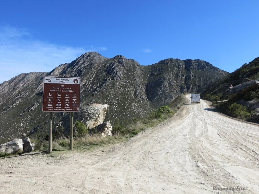
The last of the seventeen passes built by engineer Thomas Charles Bain, the Swartberg Pass is approximately 24 kilometres long. It takes about an hour to drive without stopping. This route (R328 / P0369) lies between Oudtshoorn in the south, past the Cango Caves to Prince Albert in the north. This pass is part of the Swartberg Circle Route.
At the start of both towns the road is tarred but eventually it becomes a dirt road which is usually well maintained. After heavy rain and melting snow the road is treacherous and the pass is often closed.
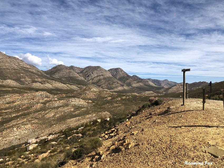
The southern valley below the Swartberg Pass
The highest section of the gravel pass is at 1583 m and a 4x4 vehicle is not necessary although there are a few streams to cross if they are flowing.
The southern side of the Swartberg Pass
A section of stone wall on the Swartberg Pass
There is a road that branches off into the Gamkaskloof to The Hell. This is the only way in and out of the valley and takes longer to drive. If you want to take this detour it is advisable to allocate an entire day as the journey one way could take you three to four hours. It is essential to use a high clearance 4x4 vehicle if you intend to drive this off the beaten track road. There is no exit so you would have to return on the same road.
The northern side of the Swartberg Pass
Hairpin bend on Swartberg Pass
I have written a detailed report about our Swartberg Pass adventure in another blog.
Meiringspoort
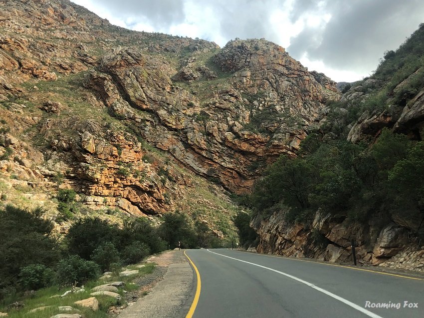
East of the Swartberg Pass lies Meiringspoort, a tarred or paved road (N12) from De Rust in the south to the town of Klaarstroom in the north along a river. The spectacular drive through the gateway is approximately 16 km in length with gentle gradients and countless corners through fantastic rock formations and beautiful scenery.
Meiringspoort and stormy clouds
In 1854 Andrew and Thomas Bain as well as John Molteno rode on horseback to plan the route. It was built between 1856 and 1858 by Adam de Schmidt, brother-in-law of Thomas Bain, an extraordinary engineering feat.
On the day it was opened the first assignment of wool merchandise was dispatched by 12 ox-drawn wool wagons.
Areas where you can park and explore or picnic in Meiringspoort
Unfortunately Meiringspoort has flooded numerous times in its long history. As a result the idea of building a pass – the Swartberg Pass - was triggered.
Although we did not stop, there is a lovely picnic spot with a waterfall as a backdrop. It can get busy though in high season or public or school holidays. Meiringspoort is also part of the Swartberg Circle Route.
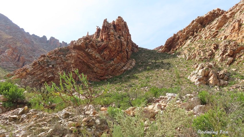
Fascinating rock formations
Seweweekspoort
The 18 km stretch of Seweweekspoort (R323 / P0309) is part of the main route that connects Laingsburg in the Greater Karoo to the R62 between Ladismith and Calitzdorp in the Small Karoo.
Northern entrance of Seweweekspoort
A gravel road, the poort or gateway winds its way into the Towerkop Nature Reserve and continues through multiple water crossings – evidently 23 times - over the Huis River. The gradients are easy and a joy to drive as it follows the twisty bends of the river between amazing folds of rock in bewildering ravines.
I am a great one for fables so here’s one for you. In fact, there are a few.
Why is it called the Seweweekspoort (Sevenweeks Gateway)?
One myth: It took seven weeks for a commando to escort a band of highway robbers from Barrydale through the poort into the Great Karoo. Another legend has it that it took seven weeks before a stock thief was arrested because he fled into the mountains. A third and rather amusing self-explanatory tale says it took seven weeks for a gang of brandy smugglers to return through the poort from Beaufort West.
And so the stories continue, from a farmer that got lost in the mountain for seven weeks to the poort being named after a missionary, namely Reverend Zerwick, where the locals could not pronounce his name properly.
The most logical explanation – or is it a fable? - could be that the name originated from the Seven week’s fern (Rumohra or Polystichum adiantiformis). Translated into Afrikaans it is called Seweweeksvaring which grows predominantly in the crevices, cracks and moist areas of the poort.
Fascinating rocks in Seweweekspoort
Fact or fable?
The ghost of the first tollkeeper.
Many years ago the Seweweekspoort was notorious for smugglers, vagabonds and bandits who apparently never bothered to pay the anxious toll keeper of the toll house at the northern entrance to the poort.
Legend has it he tries to flag you down when he runs agitatedly onto the road on misty nights waving his lantern. Whether it is to warn you of a looming storm or a raging river up ahead, the moment you slow down and stop, allegedly he fades away into the dark of night.
Rock formations of Seweweekspoort
There is no doubt you are driving through the same mountain when you navigate the three gateways as they have similar characteristics of the Swartberg Mountains. Yet they are all exceptional in their own way.
All three are must-do’s when you explore the area, whether you take the adventurous or more cautious route. None will disappoint.
Where are the Swartberg Mountains?
Find me on Social Media:
On Pinterest? Pin for later.
Pinterest Pin
Save to read later
Other Blog Posts that May interest you
Booking Accommodation, Flights, Adventures & Tours
If this article inspires you to travel it would be greatly appreciated if you book your accommodation via the links on this page. Alternatively take a look at my shop page where you fill find flights, accommodation, and other travel related options such as tours and adventures.
When you book it will earn us a small commission at no extra cost to you. This will also assist in keeping the Roaming Fox website running.
As always, I appreciate your support. Thank you! – Alma





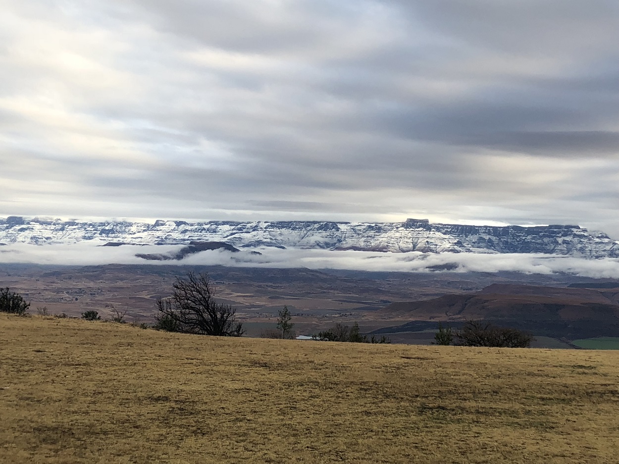
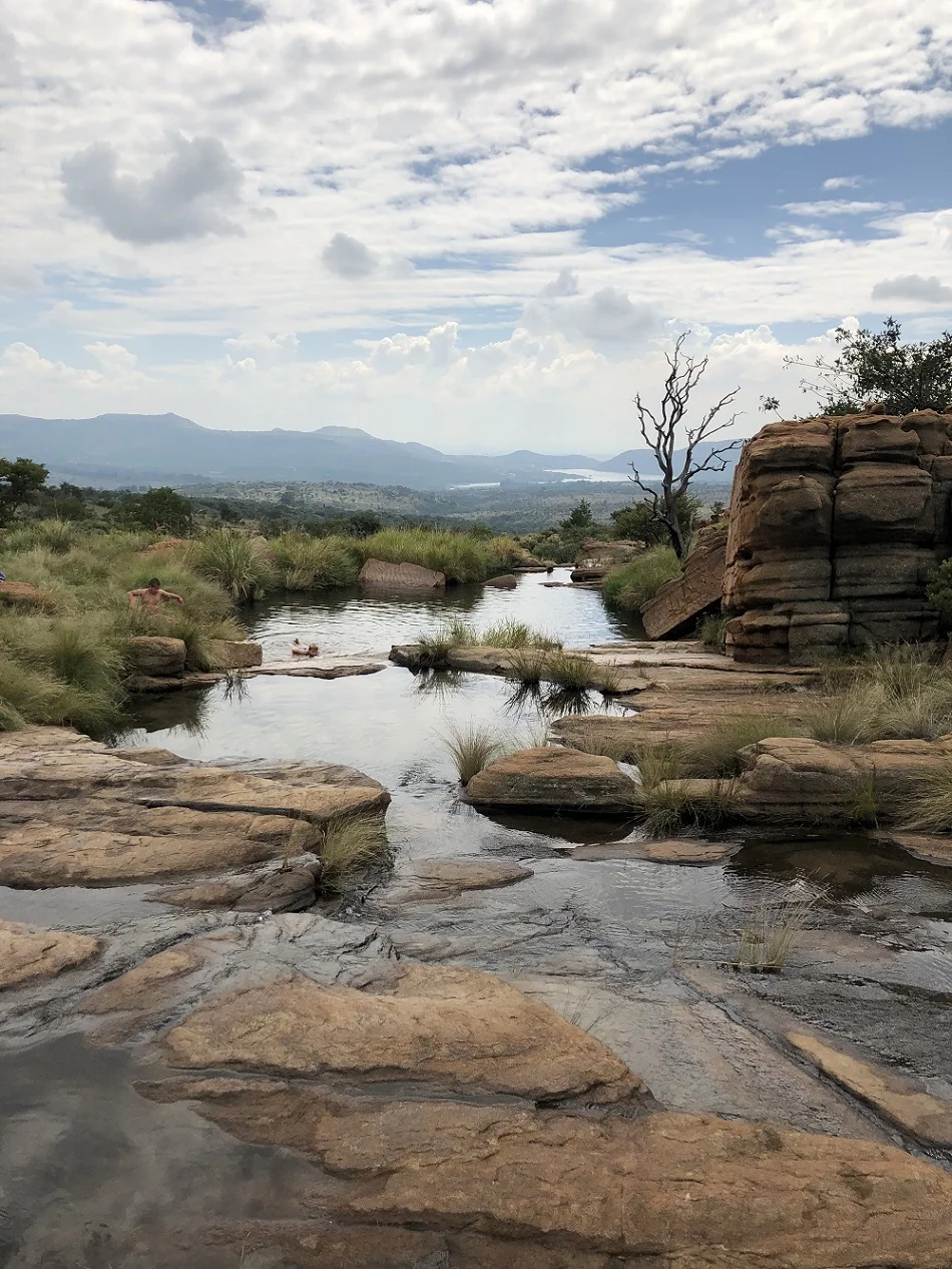

We were entering one of the first national parks declared in Zimbabwe that was situated at altitudes of between 1800 and 2593 metres, the highest terrain of Zimbabwe. We’d heard that the Eastern Highlands are one of Zimbabwe’s most picturesque areas.